Lane from Edlesborough to A4146
Introduction
The photograph on this page of Lane from Edlesborough to A4146 by Rob Farrow as part of the Geograph project.
The Geograph project started in 2005 with the aim of publishing, organising and preserving representative images for every square kilometre of Great Britain, Ireland and the Isle of Man.

There are currently over 7.5m images from over 14,400 individuals and you can help contribute to the project by visiting https://www.geograph.org.uk
Lane from Edlesborough to A4146
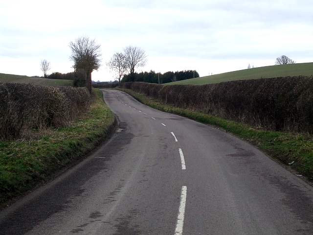
Image: © Rob Farrow Taken: 22 Feb 2009
A gently undulating lane leads out of the southern end of Edlesborough and links up with the A4146. Taken from the same position as Image] but looking southwards rather than to the East.
Images are licensed for reuse under creativecommons.org/licenses/by-sa/2.0
Image Location
Latitude
51.859254
Longitude
-0.583579