View of the village from the earthworks
Introduction
The photograph on this page of View of the village from the earthworks by Pauline E as part of the Geograph project.
The Geograph project started in 2005 with the aim of publishing, organising and preserving representative images for every square kilometre of Great Britain, Ireland and the Isle of Man.

There are currently over 7.5m images from over 14,400 individuals and you can help contribute to the project by visiting https://www.geograph.org.uk
View of the village from the earthworks
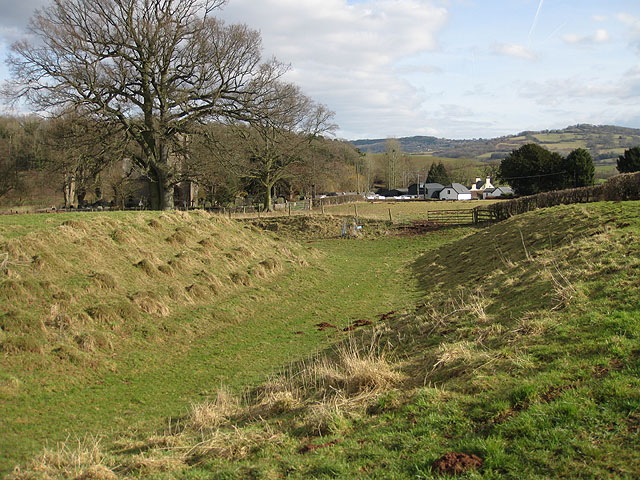
Image: © Pauline E Taken: 20 Feb 2009
From Dingestow Castle Mound. The church, which is dedicated to St. Dingat, is behind the tree.
Images are licensed for reuse under creativecommons.org/licenses/by-sa/2.0
Image Location
Latitude
51.787446
Longitude
-2.78906