Cottages at Chudleigh Knighton
Introduction
The photograph on this page of Cottages at Chudleigh Knighton by Derek Harper as part of the Geograph project.
The Geograph project started in 2005 with the aim of publishing, organising and preserving representative images for every square kilometre of Great Britain, Ireland and the Isle of Man.

There are currently over 7.5m images from over 14,400 individuals and you can help contribute to the project by visiting https://www.geograph.org.uk
Cottages at Chudleigh Knighton
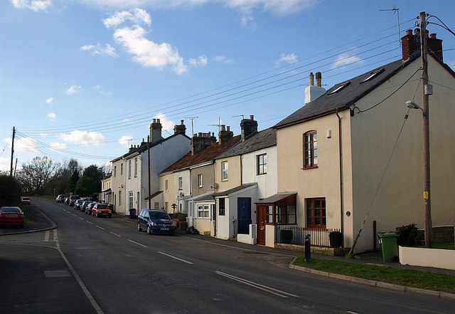
Image: © Derek Harper Taken: 17 Feb 2009
At the southwestern edge of the village, these cottages seem likely to have been built for workers in the nearby clay pits. The road, now the B3344, was formerly the main road to Plymouth.
Images are licensed for reuse under creativecommons.org/licenses/by-sa/2.0
Image Location
Latitude
50.583253
Longitude
-3.633219