John Bunyan Woz 'Ere
Introduction
The photograph on this page of John Bunyan Woz 'Ere by Stuart Shepherd as part of the Geograph project.
The Geograph project started in 2005 with the aim of publishing, organising and preserving representative images for every square kilometre of Great Britain, Ireland and the Isle of Man.

There are currently over 7.5m images from over 14,400 individuals and you can help contribute to the project by visiting https://www.geograph.org.uk
John Bunyan Woz 'Ere
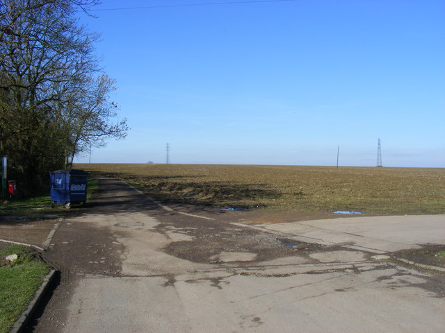
Image: © Stuart Shepherd Taken: 21 Feb 2009
The John Bunyan Trail continues across this open field at the top of Molivers lane in Bromham.
Images are licensed for reuse under creativecommons.org/licenses/by-sa/2.0
Image Location
Latitude
52.154243
Longitude
-0.537985