Carolina Court, Dundee at its junction with Broughty Ferry Road
Introduction
The photograph on this page of Carolina Court, Dundee at its junction with Broughty Ferry Road by Alan Morrison as part of the Geograph project.
The Geograph project started in 2005 with the aim of publishing, organising and preserving representative images for every square kilometre of Great Britain, Ireland and the Isle of Man.

There are currently over 7.5m images from over 14,400 individuals and you can help contribute to the project by visiting https://www.geograph.org.uk
Carolina Court, Dundee at its junction with Broughty Ferry Road
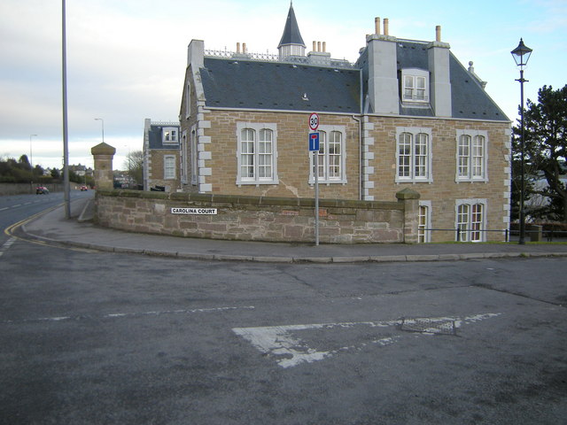
Image: © Alan Morrison Taken: 21 Feb 2009
The house in the picture has been made into flats, but at one time this was Dundee Orphan Institution.
Images are licensed for reuse under creativecommons.org/licenses/by-sa/2.0
Image Location
Latitude
56.467584
Longitude
-2.938085