Ellengowan Drive, Dundee near its junction with Thornbank Park
Introduction
The photograph on this page of Ellengowan Drive, Dundee near its junction with Thornbank Park by Alan Morrison as part of the Geograph project.
The Geograph project started in 2005 with the aim of publishing, organising and preserving representative images for every square kilometre of Great Britain, Ireland and the Isle of Man.

There are currently over 7.5m images from over 14,400 individuals and you can help contribute to the project by visiting https://www.geograph.org.uk
Ellengowan Drive, Dundee near its junction with Thornbank Park
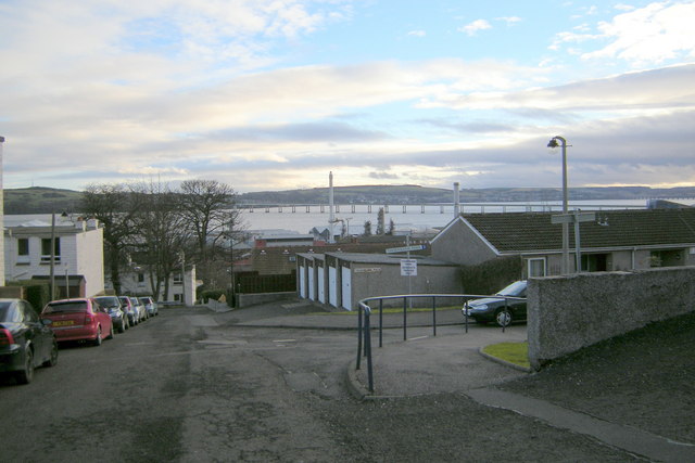
Image: © Alan Morrison Taken: 21 Feb 2009
A good view of the Tay Road Bridge can be seen in the background, with the Tay Rail Bridge just visible to the top right of the picture.
Images are licensed for reuse under creativecommons.org/licenses/by-sa/2.0
Image Location
Latitude
56.46751
Longitude
-2.947822