Structure on Celtic Trail, near Caerphilly
Introduction
The photograph on this page of Structure on Celtic Trail, near Caerphilly by Gareth James as part of the Geograph project.
The Geograph project started in 2005 with the aim of publishing, organising and preserving representative images for every square kilometre of Great Britain, Ireland and the Isle of Man.

There are currently over 7.5m images from over 14,400 individuals and you can help contribute to the project by visiting https://www.geograph.org.uk
Structure on Celtic Trail, near Caerphilly
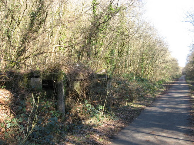
Image: © Gareth James Taken: 21 Feb 2009
The crumbling remains of a water tower situated on Penrhos Bank, a former railway line between Taffs Well and the Rhymney Valley line near Caerphilly. The trackbed now forms part of the Celtic Trail cycle route.
Images are licensed for reuse under creativecommons.org/licenses/by-sa/2.0
Image Location
Latitude
51.565013
Longitude
-3.2525