View between buildings towards Towy Valley
Introduction
The photograph on this page of View between buildings towards Towy Valley by Rose and Trev Clough as part of the Geograph project.
The Geograph project started in 2005 with the aim of publishing, organising and preserving representative images for every square kilometre of Great Britain, Ireland and the Isle of Man.

There are currently over 7.5m images from over 14,400 individuals and you can help contribute to the project by visiting https://www.geograph.org.uk
View between buildings towards Towy Valley
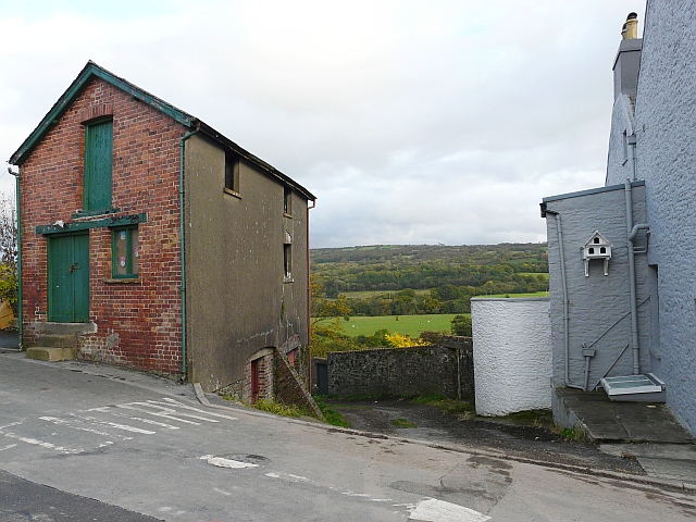
Image: © Rose and Trev Clough Taken: 13 Oct 2008
The workshop-type building (left) is in Crescent Road, and the house (right) is in Abbey Terrace. Between them is the start of an historic track called Ysgubor Abad (The Abbot Barn), which leads down to a swing bridge over the River Towy http://www.geograph.org.uk/photo/427013 . For more information about the track, see http://www.llandeilo.org/town_walk.php .
Images are licensed for reuse under creativecommons.org/licenses/by-sa/2.0
Image Location


Leaflet Map data © OpenStreetMap
Latitude
51.882027
Longitude
-3.991538