Waste land
Introduction
The photograph on this page of Waste land by Bob Embleton as part of the Geograph project.
The Geograph project started in 2005 with the aim of publishing, organising and preserving representative images for every square kilometre of Great Britain, Ireland and the Isle of Man.

There are currently over 7.5m images from over 14,400 individuals and you can help contribute to the project by visiting https://www.geograph.org.uk
Waste land
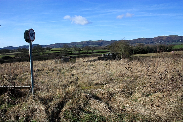
Image: © Bob Embleton Taken: 20 Feb 2009
Off the link road between the Lower and Upper Hook roads. Possibly part of the land used by the old "Midlands Farm" tourist attraction. Beautiful views of the Malvern Hills in the west.
Images are licensed for reuse under creativecommons.org/licenses/by-sa/2.0
Image Location
Latitude
52.061922
Longitude
-2.276655