Merlewood Farm House
Introduction
The photograph on this page of Merlewood Farm House by David Anstiss as part of the Geograph project.
The Geograph project started in 2005 with the aim of publishing, organising and preserving representative images for every square kilometre of Great Britain, Ireland and the Isle of Man.

There are currently over 7.5m images from over 14,400 individuals and you can help contribute to the project by visiting https://www.geograph.org.uk
Merlewood Farm House
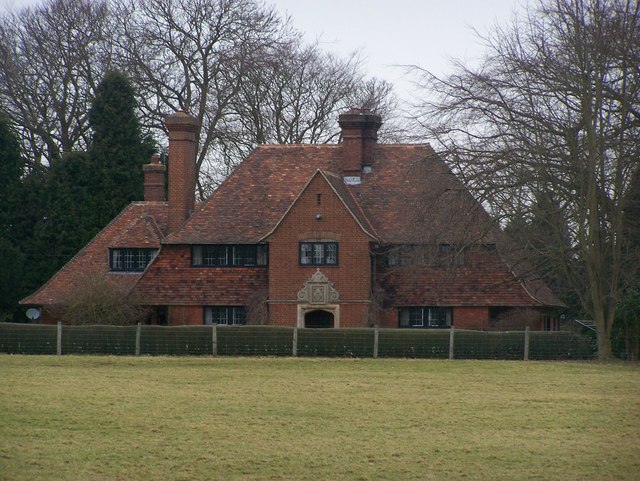
Image: © David Anstiss Taken: 12 Feb 2009
As seen from footpath from North Downs Way (long distance path) near Hillside Farm to Stede Hill road.
Images are licensed for reuse under creativecommons.org/licenses/by-sa/2.0
Image Location
Latitude
51.264511
Longitude
0.680996