No longer the road.
Introduction
The photograph on this page of No longer the road. by Mike Dodman as part of the Geograph project.
The Geograph project started in 2005 with the aim of publishing, organising and preserving representative images for every square kilometre of Great Britain, Ireland and the Isle of Man.

There are currently over 7.5m images from over 14,400 individuals and you can help contribute to the project by visiting https://www.geograph.org.uk
No longer the road.
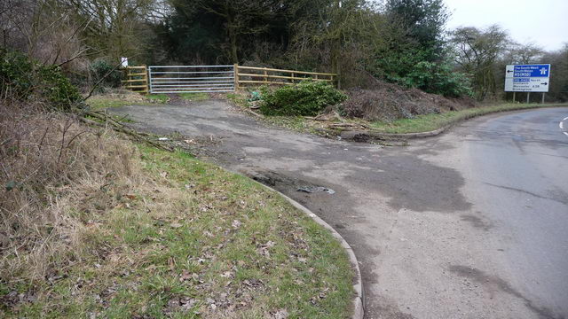
Image: © Mike Dodman Taken: 18 Feb 2009
Through that gate is clearly the route of the "old" Stoke Lane before it was re-routed into the M5 Junction. A similar "dead-end" is shown on the map immediately opposite on the other side of the M5 motorway.
Images are licensed for reuse under creativecommons.org/licenses/by-sa/2.0
Image Location
Latitude
52.286051
Longitude
-2.115914