Prospecthill Road (B768)
Introduction
The photograph on this page of Prospecthill Road (B768) by G Laird as part of the Geograph project.
The Geograph project started in 2005 with the aim of publishing, organising and preserving representative images for every square kilometre of Great Britain, Ireland and the Isle of Man.

There are currently over 7.5m images from over 14,400 individuals and you can help contribute to the project by visiting https://www.geograph.org.uk
Prospecthill Road (B768)
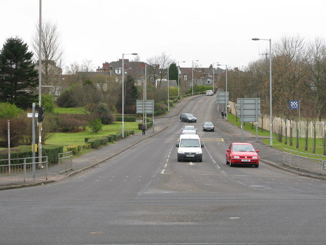
Image: © G Laird Taken: 17 Feb 2009
Viewed at the crossroads of Prospecthill Road and Aikenhead Road (A728). This road leads to the Victoria Infirmary, just under a mile away. In the not too distant past, there was a row of post war 'pre-fab houses' on the left hand side of the hill. They were intended as temporary houses, but lasted for about half a century.
Images are licensed for reuse under creativecommons.org/licenses/by-sa/2.0
Image Location
Latitude
55.828472
Longitude
-4.249666