Garages, Higher Coombe Drive
Introduction
The photograph on this page of Garages, Higher Coombe Drive by Derek Harper as part of the Geograph project.
The Geograph project started in 2005 with the aim of publishing, organising and preserving representative images for every square kilometre of Great Britain, Ireland and the Isle of Man.

There are currently over 7.5m images from over 14,400 individuals and you can help contribute to the project by visiting https://www.geograph.org.uk
Garages, Higher Coombe Drive
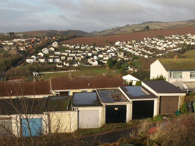
Image: © Derek Harper Taken: 13 Feb 2009
There is an overlap on the right with Image The houses behind the garages face Deer Park Avenue. In the bottom of the Bitton Brook valley is the football ground beside Coombe Lane. The housing on Moorview Drive beyond is in Image and Image
Images are licensed for reuse under creativecommons.org/licenses/by-sa/2.0
Image Location
Latitude
50.555556
Longitude
-3.506194