Belle Vue Terrace
Introduction
The photograph on this page of Belle Vue Terrace by Gordon Hatton as part of the Geograph project.
The Geograph project started in 2005 with the aim of publishing, organising and preserving representative images for every square kilometre of Great Britain, Ireland and the Isle of Man.

There are currently over 7.5m images from over 14,400 individuals and you can help contribute to the project by visiting https://www.geograph.org.uk
Belle Vue Terrace
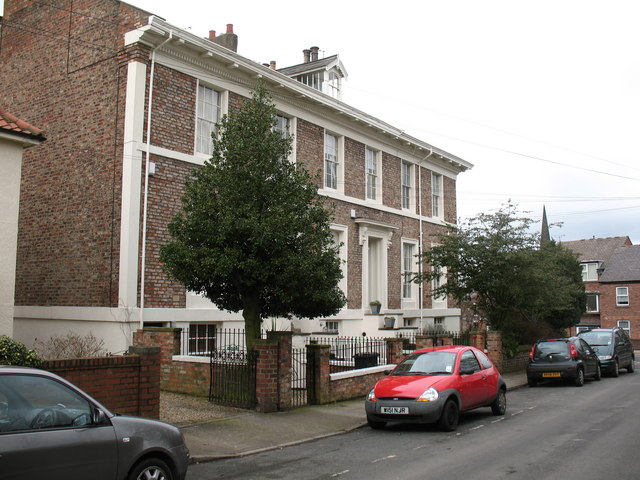
Image: © Gordon Hatton Taken: 15 Feb 2009
The east side of York has very little domestic architecture of any note. This small block on the corner of Belle Vue Terrace and Heslington Road is an exception, being well proportioned houses of around 1860.
Images are licensed for reuse under creativecommons.org/licenses/by-sa/2.0
Image Location
Latitude
53.952018
Longitude
-1.067863