Goodyhills - looking towards Jericho
Introduction
The photograph on this page of Goodyhills - looking towards Jericho by Christopher Atkinson as part of the Geograph project.
The Geograph project started in 2005 with the aim of publishing, organising and preserving representative images for every square kilometre of Great Britain, Ireland and the Isle of Man.

There are currently over 7.5m images from over 14,400 individuals and you can help contribute to the project by visiting https://www.geograph.org.uk
Goodyhills - looking towards Jericho
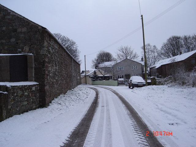
Image: © Christopher Atkinson Taken: 2 Feb 2009
Corner Farm and The Maltings seen from opposite Goodyhills Farm
Images are licensed for reuse under creativecommons.org/licenses/by-sa/2.0
Image Location
Latitude
54.807485
Longitude
-3.388083