Beaufort Close
Introduction
The photograph on this page of Beaufort Close by Ian Capper as part of the Geograph project.
The Geograph project started in 2005 with the aim of publishing, organising and preserving representative images for every square kilometre of Great Britain, Ireland and the Isle of Man.

There are currently over 7.5m images from over 14,400 individuals and you can help contribute to the project by visiting https://www.geograph.org.uk
Beaufort Close
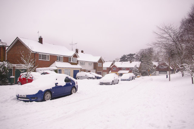
Image: © Ian Capper Taken: 2 Feb 2009
Much of this road was developed in the late 1960s. Shown here after what is reputed to be the heaviest snow in the area for 18 years.
Images are licensed for reuse under creativecommons.org/licenses/by-sa/2.0
Image Location
Latitude
51.240753
Longitude
-0.216293