Davigdor Road
Introduction
The photograph on this page of Davigdor Road by Simon Carey as part of the Geograph project.
The Geograph project started in 2005 with the aim of publishing, organising and preserving representative images for every square kilometre of Great Britain, Ireland and the Isle of Man.

There are currently over 7.5m images from over 14,400 individuals and you can help contribute to the project by visiting https://www.geograph.org.uk
Davigdor Road
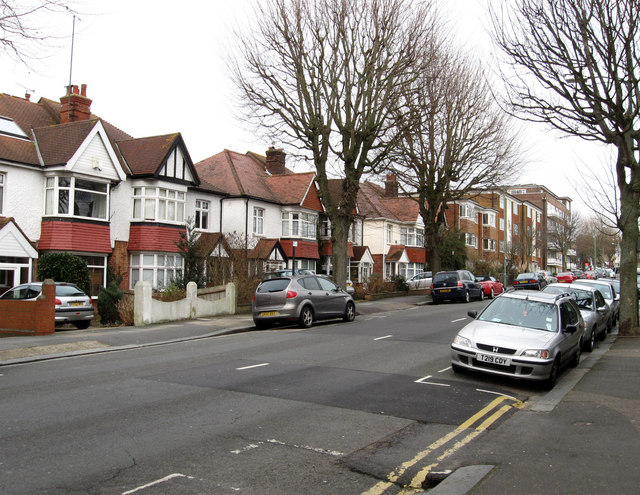
Image: © Simon Carey Taken: 15 Feb 2009
Part of the B2120 that runs from Seven Dials to Hove station. Davigdor Road is named after Osmond Elim D'avigdor Goldsmid a grandson of original landowner Isaac Goldsmid. The road has developed piecemeal with some of the original semi-detached houses being replaced by blocks of flats in the 1960s.
Images are licensed for reuse under creativecommons.org/licenses/by-sa/2.0
Image Location
Latitude
50.830896
Longitude
-0.15285