Osmond Gardens
Introduction
The photograph on this page of Osmond Gardens by Simon Carey as part of the Geograph project.
The Geograph project started in 2005 with the aim of publishing, organising and preserving representative images for every square kilometre of Great Britain, Ireland and the Isle of Man.

There are currently over 7.5m images from over 14,400 individuals and you can help contribute to the project by visiting https://www.geograph.org.uk
Osmond Gardens
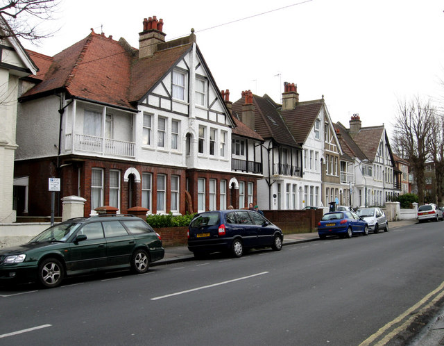
Image: © Simon Carey Taken: 15 Feb 2009
The road actually has two names here, a reminder of the former borough boundaries that ran down it. The houses in view are Osmond Gardens whilst houses on the right out of shot are in Osmond Road.
Images are licensed for reuse under creativecommons.org/licenses/by-sa/2.0
Image Location
Latitude
50.830248
Longitude
-0.151739