Geotechnical investigation, Tunnel Avenue
Introduction
The photograph on this page of Geotechnical investigation, Tunnel Avenue by Stephen Craven as part of the Geograph project.
The Geograph project started in 2005 with the aim of publishing, organising and preserving representative images for every square kilometre of Great Britain, Ireland and the Isle of Man.

There are currently over 7.5m images from over 14,400 individuals and you can help contribute to the project by visiting https://www.geograph.org.uk
Geotechnical investigation, Tunnel Avenue
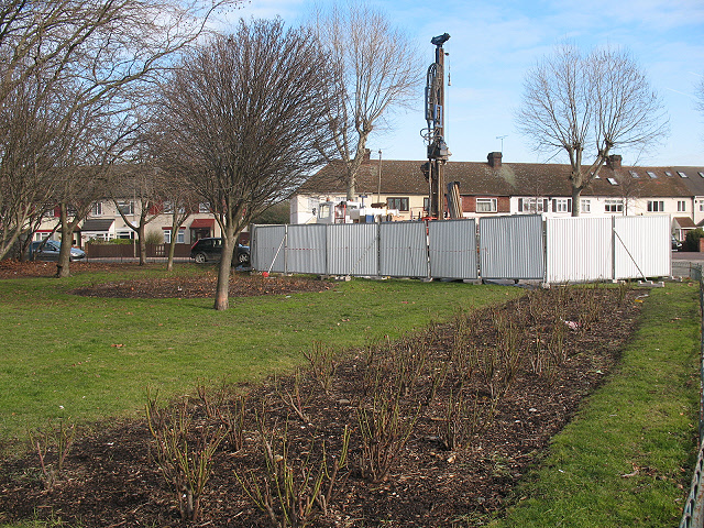
Image: © Stephen Craven Taken: 14 Feb 2009
Exploratory boreholes were being sunk for a Thames Water project in 2009. The notices did not give an indication of the nature of the project, though it would more likely be for drainage or sewerage (which tends to be deeper) than water mains (which tend to be fairly shallow). Later note (2011): I now realise this was almost certainly to do with the Thames Tideway sewer tunnel project.
Images are licensed for reuse under creativecommons.org/licenses/by-sa/2.0
Image Location
Latitude
51.489932
Longitude
0.009357