2009 : Bloomfield Road
Introduction
The photograph on this page of 2009 : Bloomfield Road by Maurice Pullin as part of the Geograph project.
The Geograph project started in 2005 with the aim of publishing, organising and preserving representative images for every square kilometre of Great Britain, Ireland and the Isle of Man.

There are currently over 7.5m images from over 14,400 individuals and you can help contribute to the project by visiting https://www.geograph.org.uk
2009 : Bloomfield Road
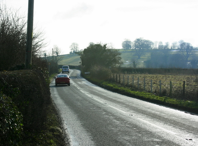
Image: © Maurice Pullin Taken: 13 Feb 2009
Has left Farmborough and is heading south past Bloomfield to Timsbury. The hill to the right is known as The Sleight.
Images are licensed for reuse under creativecommons.org/licenses/by-sa/2.0
Image Location
Latitude
51.33576
Longitude
-2.481406