Works taking place below Beechfield Avenue
Introduction
The photograph on this page of Works taking place below Beechfield Avenue by Derek Harper as part of the Geograph project.
The Geograph project started in 2005 with the aim of publishing, organising and preserving representative images for every square kilometre of Great Britain, Ireland and the Isle of Man.

There are currently over 7.5m images from over 14,400 individuals and you can help contribute to the project by visiting https://www.geograph.org.uk
Works taking place below Beechfield Avenue
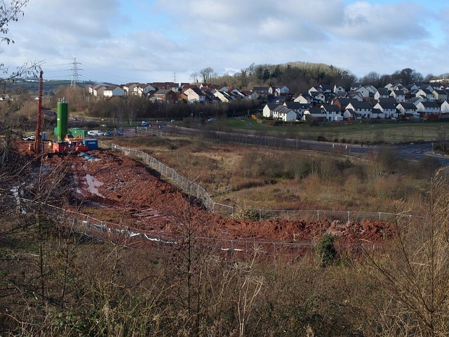
Image: © Derek Harper Taken: 7 Feb 2009
The site is part of a former refuse tip. A notice explains that "the works we are carrying out on this site are associated with the installation of a landfill gas protection barrier similar to those already in place in the area. This will improve the condition of the neighbouring land by impeding the migration of landfill gases. The completed works will have very little visual impact and include the formation of improved habitat areas for reptiles and birds." This link is probably relevant http://www.cofra.co.uk/index.cgi?p=4 .
Images are licensed for reuse under creativecommons.org/licenses/by-sa/2.0
Image Location
Latitude
50.490578
Longitude
-3.543882