Wilsonhall, near Kirkton of Monikie
Introduction
The photograph on this page of Wilsonhall, near Kirkton of Monikie by Val Vannet as part of the Geograph project.
The Geograph project started in 2005 with the aim of publishing, organising and preserving representative images for every square kilometre of Great Britain, Ireland and the Isle of Man.

There are currently over 7.5m images from over 14,400 individuals and you can help contribute to the project by visiting https://www.geograph.org.uk
Wilsonhall, near Kirkton of Monikie
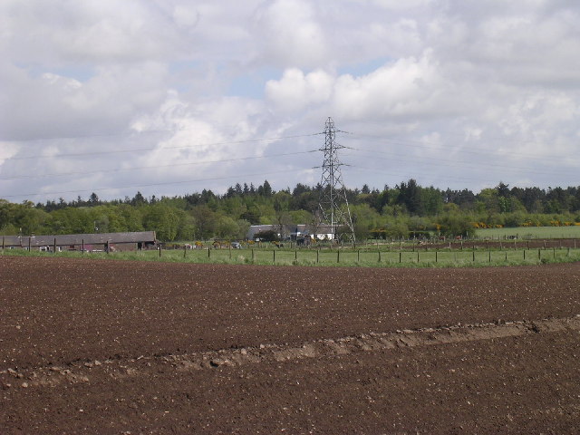
Image: © Val Vannet Taken: 21 May 2005
The view is from the B961 near Guildy looking north west to Wilsonhall past the electricity transmission line which is clearly visible on the 1:25,000 map
Images are licensed for reuse under creativecommons.org/licenses/by-sa/2.0
Image Location


Leaflet Map data © OpenStreetMap
Latitude
56.545081
Longitude
-2.77411