The Coventry Canal at Glascote Locks, Tamworth
Introduction
The photograph on this page of The Coventry Canal at Glascote Locks, Tamworth by Roger D Kidd as part of the Geograph project.
The Geograph project started in 2005 with the aim of publishing, organising and preserving representative images for every square kilometre of Great Britain, Ireland and the Isle of Man.

There are currently over 7.5m images from over 14,400 individuals and you can help contribute to the project by visiting https://www.geograph.org.uk
The Coventry Canal at Glascote Locks, Tamworth
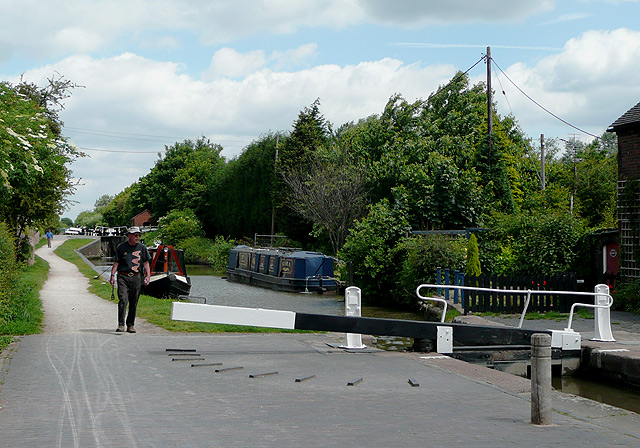
Image: © Roger D Kidd Taken: 11 Jun 2008
There are two locks at Glascote, about 150 metres apart, together lowering (or raising) the water level by 13ft 8in (4.2 metres).
Images are licensed for reuse under creativecommons.org/licenses/by-sa/2.0
Image Location
Latitude
52.625235
Longitude
-1.682194