Farmland west of Pershore
Introduction
The photograph on this page of Farmland west of Pershore by Trevor Rickard as part of the Geograph project.
The Geograph project started in 2005 with the aim of publishing, organising and preserving representative images for every square kilometre of Great Britain, Ireland and the Isle of Man.

There are currently over 7.5m images from over 14,400 individuals and you can help contribute to the project by visiting https://www.geograph.org.uk
Farmland west of Pershore
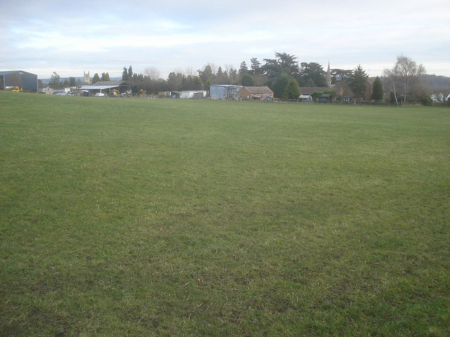
Image: © Trevor Rickard Taken: 1 Dec 2008
View east across grazing land to farm buildings. Just behind with its spire and specimen trees is Pershore Cemetery. On the left behind the farm buildings is the tower of Pershore Abbey.
Images are licensed for reuse under creativecommons.org/licenses/by-sa/2.0
Image Location
Latitude
52.107252
Longitude
-2.094131