Stripeside
Introduction
The photograph on this page of Stripeside by Anne Burgess as part of the Geograph project.
The Geograph project started in 2005 with the aim of publishing, organising and preserving representative images for every square kilometre of Great Britain, Ireland and the Isle of Man.

There are currently over 7.5m images from over 14,400 individuals and you can help contribute to the project by visiting https://www.geograph.org.uk
Stripeside
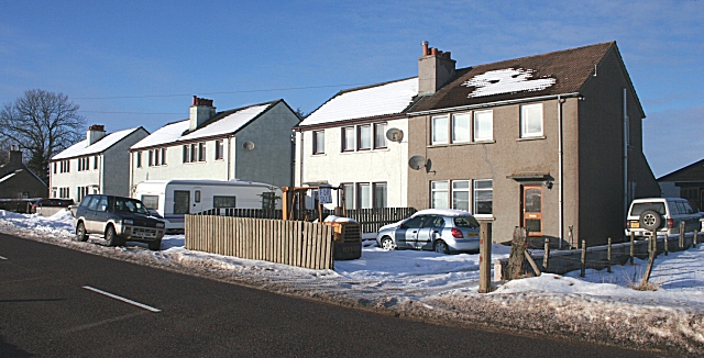
Image: © Anne Burgess Taken: 13 Feb 2009
These houses are obviously built to the same design as Image They line the A95. This Stripeside is in the parish of Grange, and not to be confused with similarly named places in other parishes.
Images are licensed for reuse under creativecommons.org/licenses/by-sa/2.0
Image Location
Latitude
57.55373
Longitude
-2.898663