Brae of Montgrew from Bridge of Montgrew
Introduction
The photograph on this page of Brae of Montgrew from Bridge of Montgrew by Anne Burgess as part of the Geograph project.
The Geograph project started in 2005 with the aim of publishing, organising and preserving representative images for every square kilometre of Great Britain, Ireland and the Isle of Man.

There are currently over 7.5m images from over 14,400 individuals and you can help contribute to the project by visiting https://www.geograph.org.uk
Brae of Montgrew from Bridge of Montgrew
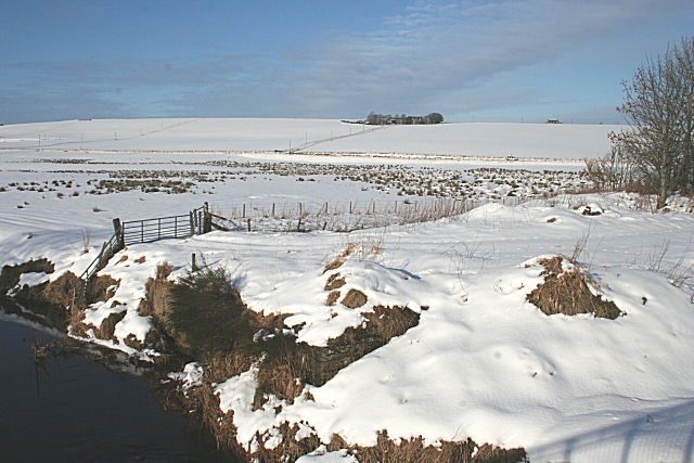
Image: © Anne Burgess Taken: 13 Feb 2009
Brae of Montgrew is pretty exposed up there on the ridge above the River Isla. However the land is better higher up away from the river - note the boggy ground with clums of rushes on the haugh.
Images are licensed for reuse under creativecommons.org/licenses/by-sa/2.0
Image Location
Latitude
57.561107
Longitude
-2.922077