Micker Brook
Introduction
The photograph on this page of Micker Brook by Keith Williamson as part of the Geograph project.
The Geograph project started in 2005 with the aim of publishing, organising and preserving representative images for every square kilometre of Great Britain, Ireland and the Isle of Man.

There are currently over 7.5m images from over 14,400 individuals and you can help contribute to the project by visiting https://www.geograph.org.uk
Micker Brook
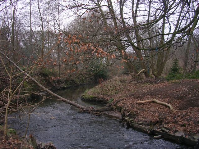
Image: © Keith Williamson Taken: 1 Feb 2006
Known as Lady Brook further upstream. Here Micker Brook passes through woodland behind Cheadle swimming pool as it makes its way to join the River Mersey.
Images are licensed for reuse under creativecommons.org/licenses/by-sa/2.0
Image Location
Latitude
53.387756
Longitude
-2.210006