Waste land, Coombe Street lane, Yeovil
Introduction
The photograph on this page of Waste land, Coombe Street lane, Yeovil by Nigel Mykura as part of the Geograph project.
The Geograph project started in 2005 with the aim of publishing, organising and preserving representative images for every square kilometre of Great Britain, Ireland and the Isle of Man.

There are currently over 7.5m images from over 14,400 individuals and you can help contribute to the project by visiting https://www.geograph.org.uk
Waste land, Coombe Street lane, Yeovil
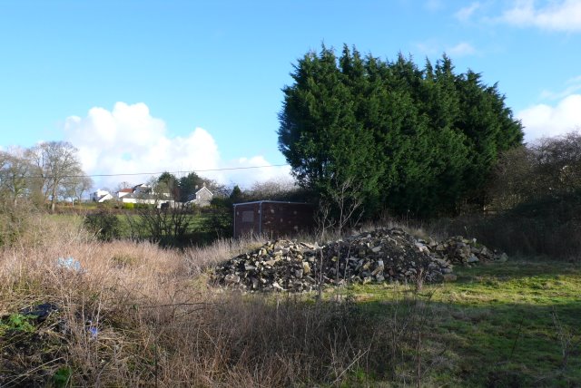
Image: © Nigel Mykura Taken: 11 Feb 2009
This land on the north side of the lane on the edge of Yeovil was once occupied by a now demolished building. It may soon be used as a building site if the northwards expansion of Yeovil continues.
Images are licensed for reuse under creativecommons.org/licenses/by-sa/2.0
Image Location
Latitude
50.956754
Longitude
-2.646905