2009 : Smithick's Bridge
Introduction
The photograph on this page of 2009 : Smithick's Bridge by Maurice Pullin as part of the Geograph project.
The Geograph project started in 2005 with the aim of publishing, organising and preserving representative images for every square kilometre of Great Britain, Ireland and the Isle of Man.

There are currently over 7.5m images from over 14,400 individuals and you can help contribute to the project by visiting https://www.geograph.org.uk
2009 : Smithick's Bridge
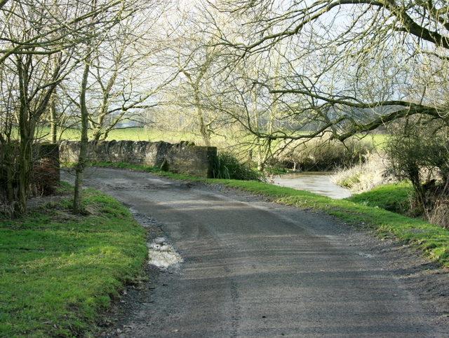
Image: © Maurice Pullin Taken: 10 Feb 2009
Carries Smithick's Lane over the River Frome. From here the Frome passes through Frome (oh! yes it does) then on to Rode and Farleigh Hungerford, meeting the River Avon near Iford. The name Frome means river in early English, so does the name Avon. So we have the spectacle of the River River flowing into the River River.
Images are licensed for reuse under creativecommons.org/licenses/by-sa/2.0
Image Location
Latitude
51.189445
Longitude
-2.33092