Boundary stone, Ainstable
Introduction
The photograph on this page of Boundary stone, Ainstable by Humphrey Bolton as part of the Geograph project.
The Geograph project started in 2005 with the aim of publishing, organising and preserving representative images for every square kilometre of Great Britain, Ireland and the Isle of Man.

There are currently over 7.5m images from over 14,400 individuals and you can help contribute to the project by visiting https://www.geograph.org.uk
Boundary stone, Ainstable
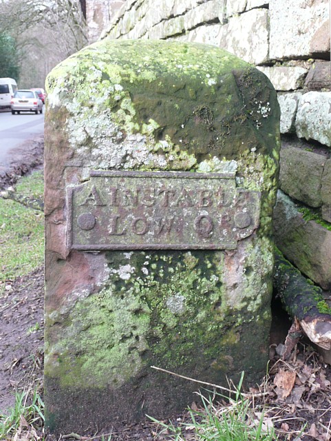
Image: © Humphrey Bolton Taken: 27 Jan 2009
This marks the boundary of Ainstable Low Quarter, which was presumably the division of Ainstable township. In 1866 township divisions were abolished, and are not shown on the First Edition six-inch map for this area, which was published in 1867.
Images are licensed for reuse under creativecommons.org/licenses/by-sa/2.0
Image Location
Latitude
54.805542
Longitude
-2.76694