Winterbourne Lane
Introduction
The photograph on this page of Winterbourne Lane by Simon Carey as part of the Geograph project.
The Geograph project started in 2005 with the aim of publishing, organising and preserving representative images for every square kilometre of Great Britain, Ireland and the Isle of Man.

There are currently over 7.5m images from over 14,400 individuals and you can help contribute to the project by visiting https://www.geograph.org.uk
Winterbourne Lane
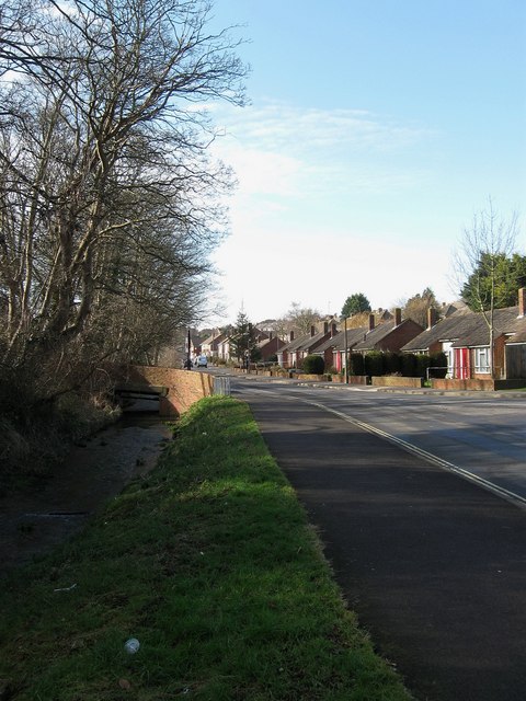
Image: © Simon Carey Taken: 8 Feb 2009
Taken from the junction with Winterbourne Hollow with the Winterbourne Stream on the left living up to its name. The bridge enables access to Winterbourne Close and Hillyfields.
Images are licensed for reuse under creativecommons.org/licenses/by-sa/2.0
Image Location
Latitude
50.868834
Longitude
-0.004537