Graffiti, Melville Lane
Introduction
The photograph on this page of Graffiti, Melville Lane by Dan as part of the Geograph project.
The Geograph project started in 2005 with the aim of publishing, organising and preserving representative images for every square kilometre of Great Britain, Ireland and the Isle of Man.

There are currently over 7.5m images from over 14,400 individuals and you can help contribute to the project by visiting https://www.geograph.org.uk
Graffiti, Melville Lane
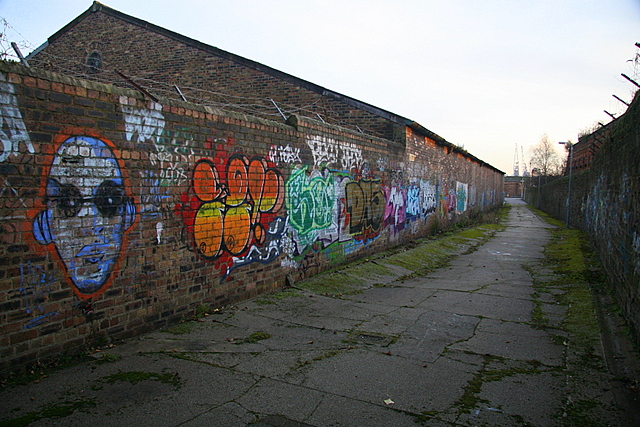
Image: © Dan Taken: 28 Jan 2009
Connecting Broughty Ferry Road with East Dock Street via a flight of stairs.
Images are licensed for reuse under creativecommons.org/licenses/by-sa/2.0
Image Location
Latitude
56.465758
Longitude
-2.953621