The Avenue
Introduction
The photograph on this page of The Avenue by Simon Carey as part of the Geograph project.
The Geograph project started in 2005 with the aim of publishing, organising and preserving representative images for every square kilometre of Great Britain, Ireland and the Isle of Man.

There are currently over 7.5m images from over 14,400 individuals and you can help contribute to the project by visiting https://www.geograph.org.uk
The Avenue
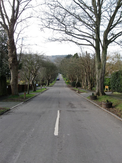
Image: © Simon Carey Taken: 8 Feb 2009
The area between The Street and Kingston Ridge has been built up from the 1930s onwards with this road being the main access road for all the small estates.
Images are licensed for reuse under creativecommons.org/licenses/by-sa/2.0
Image Location
Latitude
50.858946
Longitude
-0.025989