Lane to Chalford
Introduction
The photograph on this page of Lane to Chalford by Tamara Kwan as part of the Geograph project.
The Geograph project started in 2005 with the aim of publishing, organising and preserving representative images for every square kilometre of Great Britain, Ireland and the Isle of Man.

There are currently over 7.5m images from over 14,400 individuals and you can help contribute to the project by visiting https://www.geograph.org.uk
Lane to Chalford
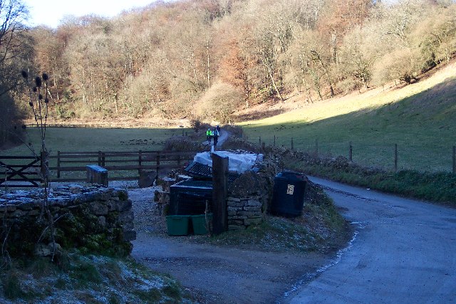
Image: © Tamara Kwan Taken: 30 Jan 2006
The lane in the view goes down the valley to Chalford and the railway, river and canal are nearby but not visible also following the contours. At this junction one lane climbs to Oakridge and the other to Frampton Mansell.
Images are licensed for reuse under creativecommons.org/licenses/by-sa/2.0
Image Location
Latitude
51.724752
Longitude
-2.125907