Towards Ben Tianavaig
Introduction
The photograph on this page of Towards Ben Tianavaig by Richard Dorrell as part of the Geograph project.
The Geograph project started in 2005 with the aim of publishing, organising and preserving representative images for every square kilometre of Great Britain, Ireland and the Isle of Man.

There are currently over 7.5m images from over 14,400 individuals and you can help contribute to the project by visiting https://www.geograph.org.uk
Towards Ben Tianavaig
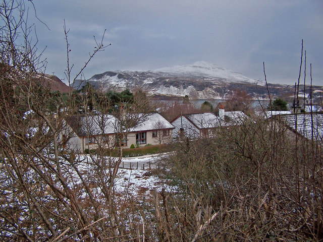
Image: © Richard Dorrell Taken: 9 Feb 2009
The bungalows in the foreground are in Budhmor Place, Portree. Beyond is Ben Tianavaig. The view is from the side of the A855 road to Staffin and the Trotternish peninsula.
Images are licensed for reuse under creativecommons.org/licenses/by-sa/2.0
Image Location
Latitude
57.415395
Longitude
-6.189583