Great Hill
Introduction
The photograph on this page of Great Hill by Derek Harper as part of the Geograph project.
The Geograph project started in 2005 with the aim of publishing, organising and preserving representative images for every square kilometre of Great Britain, Ireland and the Isle of Man.

There are currently over 7.5m images from over 14,400 individuals and you can help contribute to the project by visiting https://www.geograph.org.uk
Great Hill
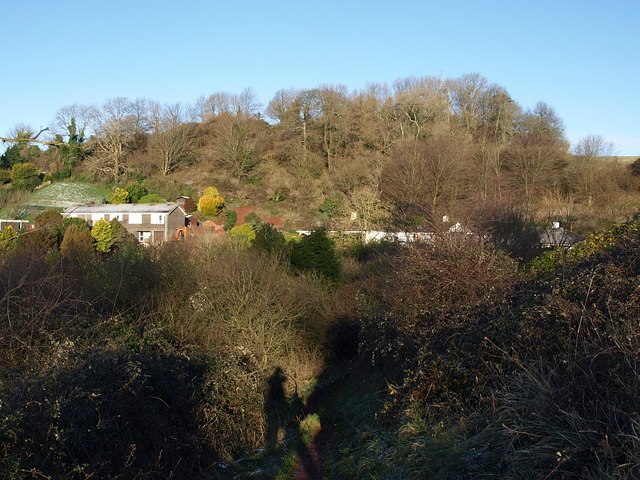
Image: © Derek Harper Taken: 7 Feb 2009
At 180 metres, Great Hill is the highest point in the triangle of land between Torquay and the Teign estuary, and has been the subject of bitter wrangles over the siting of telecommunication masts and their height. The current occupant, here largely screened by trees, is shown more clearly in Image Seen from the path between Brunel Woods and Seymour Drive.
Images are licensed for reuse under creativecommons.org/licenses/by-sa/2.0
Image Location
Latitude
50.500869
Longitude
-3.534206