View across Nidderdale towards Guise Cliff
Introduction
The photograph on this page of View across Nidderdale towards Guise Cliff by Stephen Craven as part of the Geograph project.
The Geograph project started in 2005 with the aim of publishing, organising and preserving representative images for every square kilometre of Great Britain, Ireland and the Isle of Man.

There are currently over 7.5m images from over 14,400 individuals and you can help contribute to the project by visiting https://www.geograph.org.uk
View across Nidderdale towards Guise Cliff
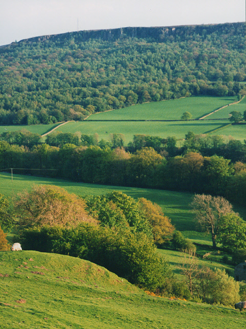
Image: © Stephen Craven Taken: 8 May 1994
Guise Cliff on the skyline is in Image The foreground is grazing land sloping steeply down towards the River Nidd that flows between the rows of trees in the middle distance.
Images are licensed for reuse under creativecommons.org/licenses/by-sa/2.0
Image Location


Leaflet Map data © OpenStreetMap
Latitude
54.079121
Longitude
-1.744566