Fulford District Conservative Club
Introduction
The photograph on this page of Fulford District Conservative Club by Gordon Hatton as part of the Geograph project.
The Geograph project started in 2005 with the aim of publishing, organising and preserving representative images for every square kilometre of Great Britain, Ireland and the Isle of Man.

There are currently over 7.5m images from over 14,400 individuals and you can help contribute to the project by visiting https://www.geograph.org.uk
Fulford District Conservative Club
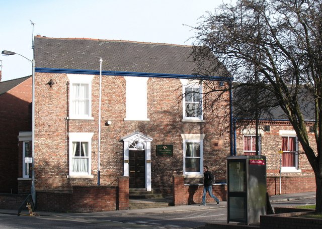
Image: © Gordon Hatton Taken: 8 Feb 2009
The building stands on a busy corner between Fulford Road and Cemetery Road and dates from 1810.
Images are licensed for reuse under creativecommons.org/licenses/by-sa/2.0
Image Location
Latitude
53.949367
Longitude
-1.073712