Birdlip Primary School
Introduction
The photograph on this page of Birdlip Primary School by Philip Halling as part of the Geograph project.
The Geograph project started in 2005 with the aim of publishing, organising and preserving representative images for every square kilometre of Great Britain, Ireland and the Isle of Man.

There are currently over 7.5m images from over 14,400 individuals and you can help contribute to the project by visiting https://www.geograph.org.uk
Birdlip Primary School
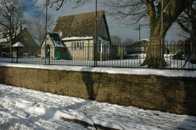
Image: © Philip Halling Taken: 7 Feb 2009
Birdlip Primary School used to be beside the busy A417, nowadays the village has been bypassed and the village is on a quiet no through road.
Images are licensed for reuse under creativecommons.org/licenses/by-sa/2.0
Image Location
Latitude
51.827091
Longitude
-2.104572