Ermin Way at Birdlip
Introduction
The photograph on this page of Ermin Way at Birdlip by Philip Halling as part of the Geograph project.
The Geograph project started in 2005 with the aim of publishing, organising and preserving representative images for every square kilometre of Great Britain, Ireland and the Isle of Man.

There are currently over 7.5m images from over 14,400 individuals and you can help contribute to the project by visiting https://www.geograph.org.uk
Ermin Way at Birdlip
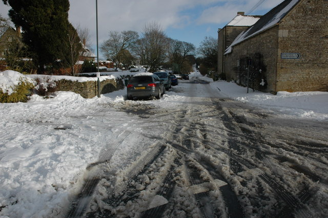
Image: © Philip Halling Taken: 7 Feb 2009
Ermin Way is a Roman Road between Silchester and Gloucester, here it passes through Birdlip, high on the Cotswolds. The road in Birdlip used to be part of the A417 but it is now bypassed.
Images are licensed for reuse under creativecommons.org/licenses/by-sa/2.0
Image Location
Latitude
51.826911
Longitude
-2.105587