Pre Worboys sign Burntcommon
Introduction
The photograph on this page of Pre Worboys sign Burntcommon by David Howard as part of the Geograph project.
The Geograph project started in 2005 with the aim of publishing, organising and preserving representative images for every square kilometre of Great Britain, Ireland and the Isle of Man.

There are currently over 7.5m images from over 14,400 individuals and you can help contribute to the project by visiting https://www.geograph.org.uk
Pre Worboys sign Burntcommon
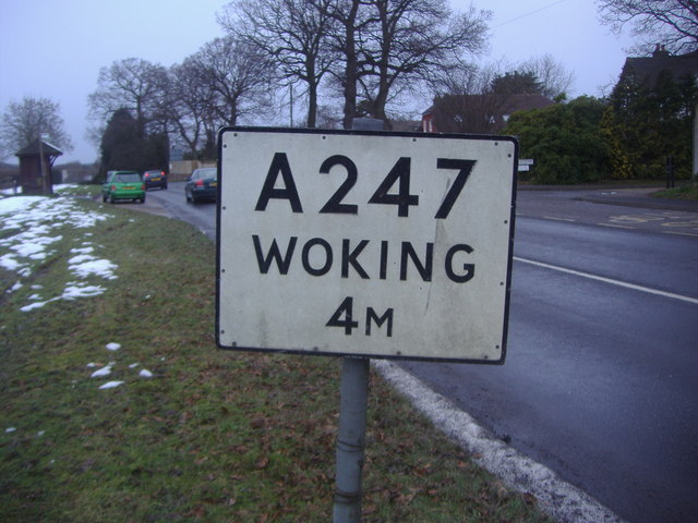
Image: © David Howard Taken: 8 Feb 2009
These are still on most of the A roads around Guildford.
Images are licensed for reuse under creativecommons.org/licenses/by-sa/2.0
Image Location
Latitude
51.282025
Longitude
-0.515515