Ryersh Lane railway bridge (west ramp)
Introduction
The photograph on this page of Ryersh Lane railway bridge (west ramp) by Hugh Craddock as part of the Geograph project.
The Geograph project started in 2005 with the aim of publishing, organising and preserving representative images for every square kilometre of Great Britain, Ireland and the Isle of Man.

There are currently over 7.5m images from over 14,400 individuals and you can help contribute to the project by visiting https://www.geograph.org.uk
Ryersh Lane railway bridge (west ramp)
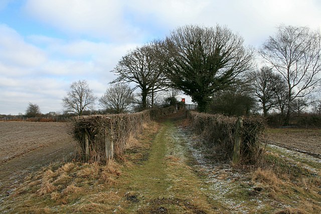
Image: © Hugh Craddock Taken: 7 Feb 2009
West ramp built to carry Ryersh Lane (public bridleway Ockley 157) over the Horsham-Dorking railway line.
Images are licensed for reuse under creativecommons.org/licenses/by-sa/2.0
Image Location
Latitude
51.155775
Longitude
-0.335531