Westfield Drove approaching Hamilton Farm
Introduction
The photograph on this page of Westfield Drove approaching Hamilton Farm by Peter Facey as part of the Geograph project.
The Geograph project started in 2005 with the aim of publishing, organising and preserving representative images for every square kilometre of Great Britain, Ireland and the Isle of Man.

There are currently over 7.5m images from over 14,400 individuals and you can help contribute to the project by visiting https://www.geograph.org.uk
Westfield Drove approaching Hamilton Farm
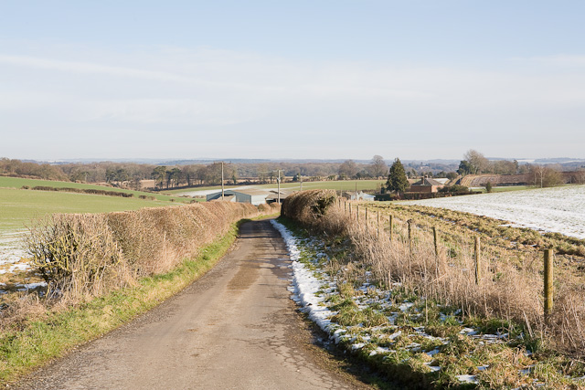
Image: © Peter Facey Taken: 8 Feb 2009
For a similar view but looking along the other side of the hedge at left, see Image
Images are licensed for reuse under creativecommons.org/licenses/by-sa/2.0
Image Location
Latitude
51.028323
Longitude
-1.192003