Sugar Loaf Hill
Introduction
The photograph on this page of Sugar Loaf Hill by Roland Pilcher as part of the Geograph project.
The Geograph project started in 2005 with the aim of publishing, organising and preserving representative images for every square kilometre of Great Britain, Ireland and the Isle of Man.

There are currently over 7.5m images from over 14,400 individuals and you can help contribute to the project by visiting https://www.geograph.org.uk
Sugar Loaf Hill
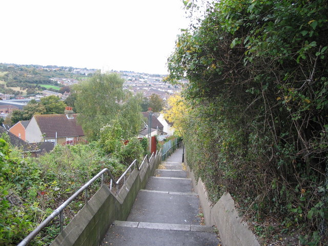
Image: © Roland Pilcher Taken: 14 Oct 2008
This flight of steps runs from Ash Tree Lane down to Beacon Road. The steps are now overgrown and rather forbidding but at one time afforded pleasant views over the Luton Valley.
Images are licensed for reuse under creativecommons.org/licenses/by-sa/2.0
Image Location
Latitude
51.371409
Longitude
0.54987