Faxfleet
Introduction
The photograph on this page of Faxfleet by Stephen Horncastle as part of the Geograph project.
The Geograph project started in 2005 with the aim of publishing, organising and preserving representative images for every square kilometre of Great Britain, Ireland and the Isle of Man.

There are currently over 7.5m images from over 14,400 individuals and you can help contribute to the project by visiting https://www.geograph.org.uk
Faxfleet
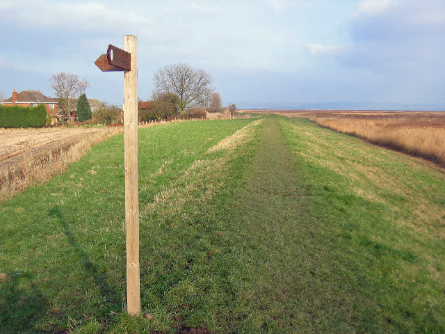
Image: © Stephen Horncastle Taken: 28 Jan 2006
Looking NE along the bank of the River Humber in the direction of Whitton Sands.
Images are licensed for reuse under creativecommons.org/licenses/by-sa/2.0
Image Location
Latitude
53.708975
Longitude
-0.692705