Banstead Heath
Introduction
The photograph on this page of Banstead Heath by Ian Capper as part of the Geograph project.
The Geograph project started in 2005 with the aim of publishing, organising and preserving representative images for every square kilometre of Great Britain, Ireland and the Isle of Man.

There are currently over 7.5m images from over 14,400 individuals and you can help contribute to the project by visiting https://www.geograph.org.uk
Banstead Heath
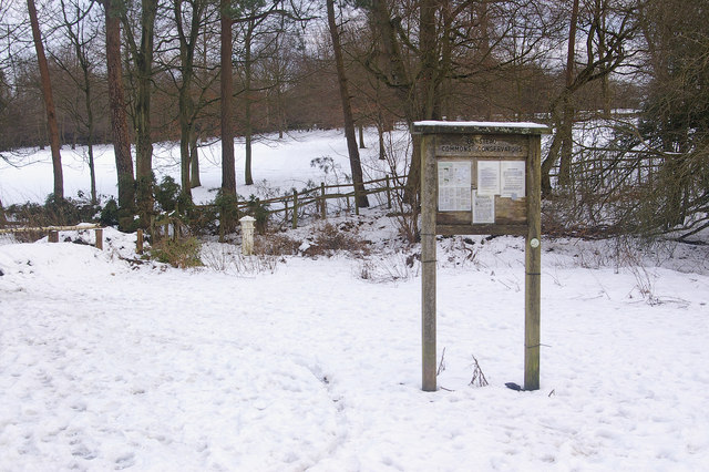
Image: © Ian Capper Taken: 7 Feb 2009
By the entrance at the end of a short path running down from the Chipstead Lane roundabout on the A217. The snow cover is from a heavy fall earlier that week. Note the Coal Tax Post (see Image). The noticeboard is of the Banstead Common Conservators who manage the various commons in the area - http://www.bansteadcommonsconservators.org/.
Images are licensed for reuse under creativecommons.org/licenses/by-sa/2.0
Image Location
Latitude
51.279823
Longitude
-0.219584