Island Farm
Introduction
The photograph on this page of Island Farm by Bob Jenkins as part of the Geograph project.
The Geograph project started in 2005 with the aim of publishing, organising and preserving representative images for every square kilometre of Great Britain, Ireland and the Isle of Man.

There are currently over 7.5m images from over 14,400 individuals and you can help contribute to the project by visiting https://www.geograph.org.uk
Island Farm
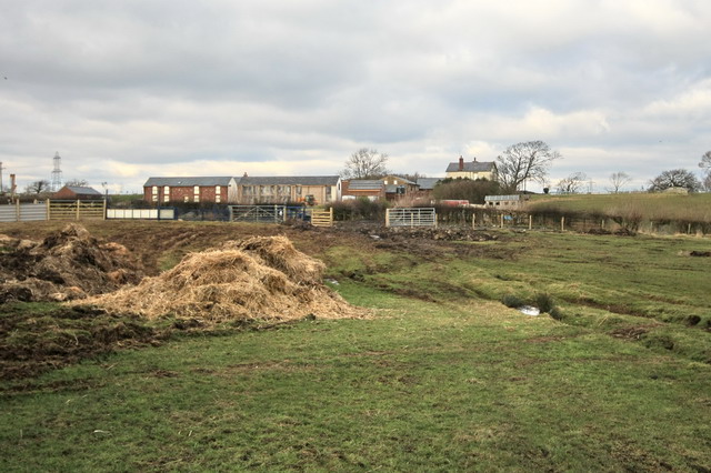
Image: © Bob Jenkins Taken: 7 Feb 2009
The name is not so strange - in past times the surrounding land was undrained peat, around 12 feet deep 150 years ago, but less than 7 feet today. The Pilling and Winmarleigh marshes were known as the "Black Lake" by the monks of Cockersands Abbey. All dwellings were built on the higher hillocks of moraine, and would have been islands when the marshes were at their wettest.
Images are licensed for reuse under creativecommons.org/licenses/by-sa/2.0
Image Location
Latitude
53.913588
Longitude
-2.82814