Bournemouth : Railway
Introduction
The photograph on this page of Bournemouth : Railway by Lewis Clarke as part of the Geograph project.
The Geograph project started in 2005 with the aim of publishing, organising and preserving representative images for every square kilometre of Great Britain, Ireland and the Isle of Man.

There are currently over 7.5m images from over 14,400 individuals and you can help contribute to the project by visiting https://www.geograph.org.uk
Bournemouth : Railway
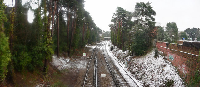
Image: © Lewis Clarke Taken: 6 Feb 2009
The railway taken from the bridge at Cemetery Junction. Trains were disrupted this day because of the snow.
Images are licensed for reuse under creativecommons.org/licenses/by-sa/2.0
Image Location
Latitude
50.731868
Longitude
-1.873133