Greystones Cottage
Introduction
The photograph on this page of Greystones Cottage by brian alderman as part of the Geograph project.
The Geograph project started in 2005 with the aim of publishing, organising and preserving representative images for every square kilometre of Great Britain, Ireland and the Isle of Man.

There are currently over 7.5m images from over 14,400 individuals and you can help contribute to the project by visiting https://www.geograph.org.uk
Greystones Cottage
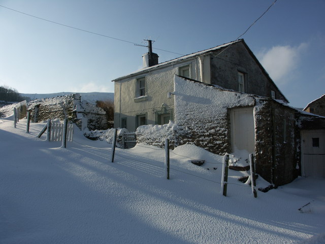
Image: © brian alderman Taken: 3 Feb 2009
A grade 2 listed cottage at the south end of the village. This property stands at the end of the track up to Burtersett High Pasture and Wether Fell.
Images are licensed for reuse under creativecommons.org/licenses/by-sa/2.0
Image Location
Latitude
54.297395
Longitude
-2.170209