Poet's Path to Redmarley D'Abitot
Introduction
The photograph on this page of Poet's Path to Redmarley D'Abitot by Trevor Rickard as part of the Geograph project.
The Geograph project started in 2005 with the aim of publishing, organising and preserving representative images for every square kilometre of Great Britain, Ireland and the Isle of Man.

There are currently over 7.5m images from over 14,400 individuals and you can help contribute to the project by visiting https://www.geograph.org.uk
Poet's Path to Redmarley D'Abitot
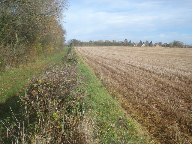
Image: © Trevor Rickard Taken: 19 Nov 2008
Looking northwards along the track at the edge of Cobhill Rough. This is part of the Poet's Path 1, the eight-mile circular walk from Dymock. Redmarley church and houses on the right.
Images are licensed for reuse under creativecommons.org/licenses/by-sa/2.0
Image Location
Latitude
51.975368
Longitude
-2.365654